NeometricoNeometrico
PlatformTechnologyPricingGAIA AIZeus
About
Login

News

News

From Valencia. The program, the platform, what changed.
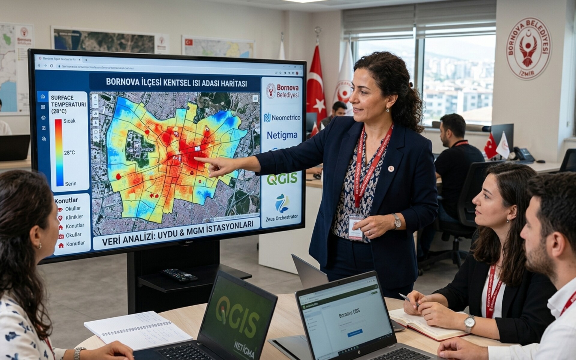
  • Bornova Municipality urban heat map working session with satellite and MGM data

    14 September 2026

    Bornova Smart City Pilot: Mapping Urban Heat Islands with Satellite Data & GIS

    Neometrico and Bornova Municipality have started a pilot project in İzmir to map where urban heat concentrates, using satellite data and MGM weather in Netigma and QGIS.

    Read →
  • Impulsa Startup Accelerator Takeoff — Cámara Valencia and SkyLab.

    6 March 2026

    Neometrico joins DESPEGA in Valencia

    One of ten startups in the Impulsa acceleration program run by Cámara Valencia and SkyLab.

    Read →
NeometricoNeometrico

Satellite, drone and stations for farms, towns and operators. Built in Valencia.

Platform

  • Air Mapper
  • Mission Control
  • Meteorological stations
  • TrueWind
  • Urban Climate Index
  • River Pulse
  • Methodology
  • GAIA
  • Zeus Orchestrator
  • Integrations
  • Solutions

Sectors

  • Agriculture & Livestock
  • Smart Cities
  • GeoINT

Company

  • About Us
  • Vision
  • News
  • Blog
  • Team
  • Contact

Connect

  • LinkedIn
  • X
  • Instagram
We participate in the incubation program funded by:
SkyLabImpulsaCámara de EspañaCámara de Comercio de ValenciaUnión Europea

© 2026 Neometrico. All rights reserved.

Privacy PolicyCookie Policy

For farms and towns — not only central administrations.